In today’s dynamic world, managing and monitoring plots or land assets efficiently is crucial for various stakeholders, including property developers, landowners, real estate agents, and governmental agencies. Traditional methods of monitoring plots often involve periodic physical inspections, which can be time-consuming, costly, and prone to errors. However, with advancements in technology, real-time monitoring solutions have emerged as a game-changer, providing stakeholders with instantaneous insights into their land holdings. Plots Monitoring offers a comprehensive real-time monitoring system designed to revolutionize how plots and land are managed.
With Plots Monitoring, users gain access to a sophisticated platform equipped with cutting-edge technology, including satellite imagery, GPS tracking, and sensor networks. These tools work seamlessly together to provide up-to-the-minute information on various aspects of land parcels, ensuring proactive decision-making and enhanced security.
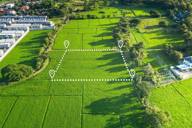
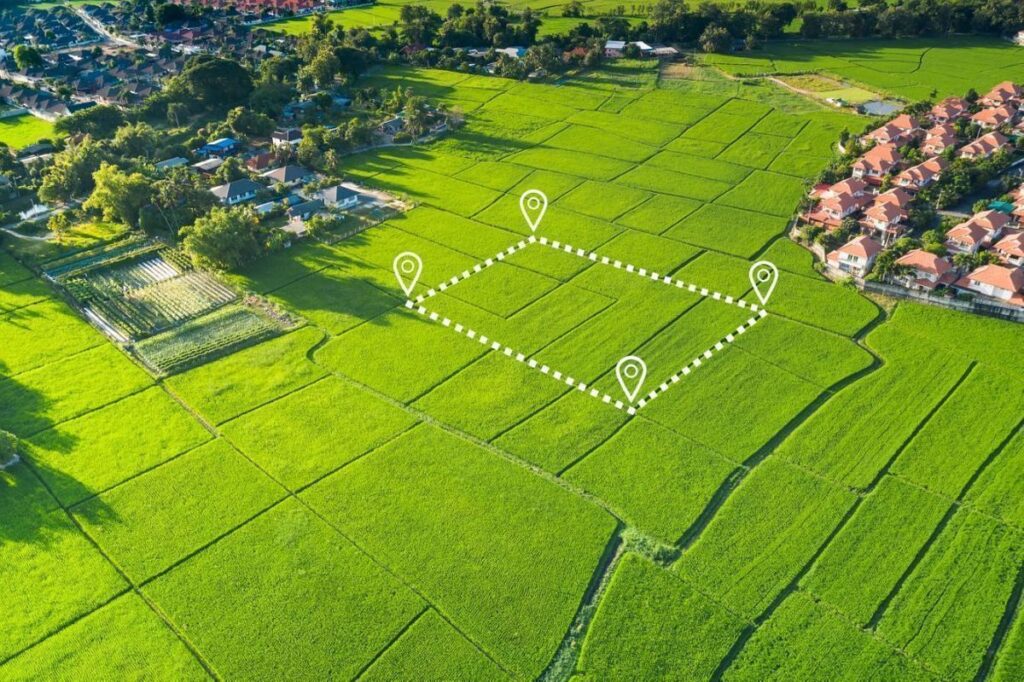
One of the key features of Plots Monitoring is its utilization of satellite imagery for continuous surveillance of land plots. By leveraging satellite data, users can obtain high-resolution images of their plots on a regular basis, enabling them to detect changes, unauthorized activities, or encroachments promptly. This capability not only enhances security but also facilitates better land management practices, such as identifying areas for development or conservation.
Furthermore, Plots Monitoring integrates GPS tracking systems to monitor the movement of assets and personnel within designated land areas. By equipping assets or vehicles with GPS trackers, users can monitor their location in real-time, ensuring efficient utilization and preventing unauthorized access or misuse. This feature is particularly valuable for large landowners or property developers who need to oversee extensive land holdings spread across diverse geographical locations.
In addition to satellite imagery and GPS tracking, Plots Monitoring incorporates sensor networks to gather data on environmental factors such as temperature, humidity, and soil moisture. These sensors provide valuable insights into the health and condition of the land, enabling users to make informed decisions regarding irrigation, fertilization, or pest control. By monitoring environmental parameters in real-time, stakeholders can optimize land productivity while minimizing resource wastage and environmental impact.
Plots Monitoring is designed with user convenience and accessibility in mind, offering a user-friendly interface accessible via web browsers and mobile devices. Users can access real-time data, receive alerts and notifications, and generate customized reports tailored to their specific requirements. Whether they are in the office or on the go, stakeholders can stay connected to their land assets and make informed decisions anytime, anywhere.